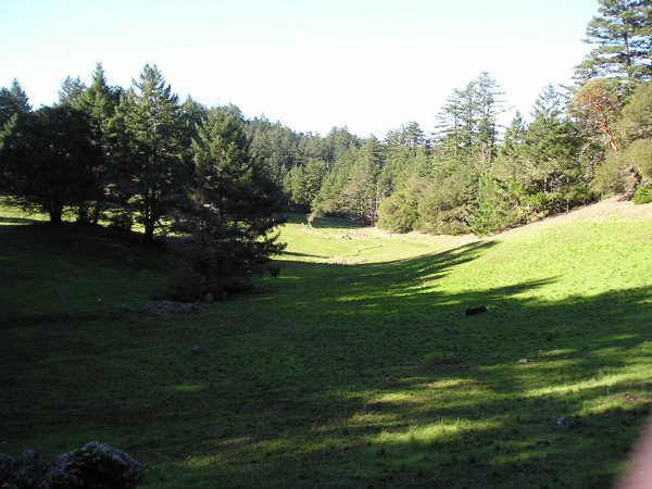
5 minutes up the street--at the start of 15 miles of riding stables.

The marina in Martinez, ten minutes the other way.
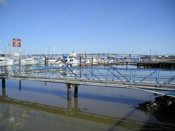
Some of the leftovers from last week's storms.

Once again, up another road for a few minutes

Mt. Tam on the coast. San Francisco is on the right peninsular in the background, Oakland on the left.

On Mt Tam
Just for orientation: almost the same view towards Oakland. Concord is on the lower slopes of the big mountain in the background on the left

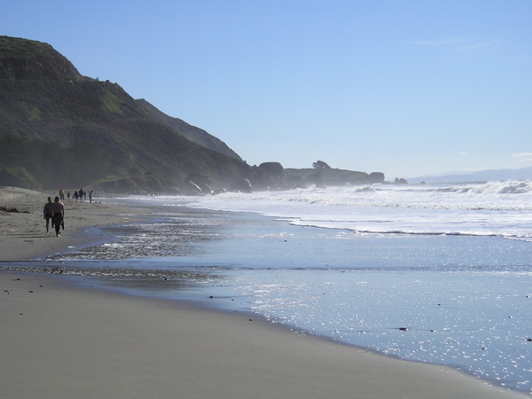
Stinton Beach

The coastline towards SF

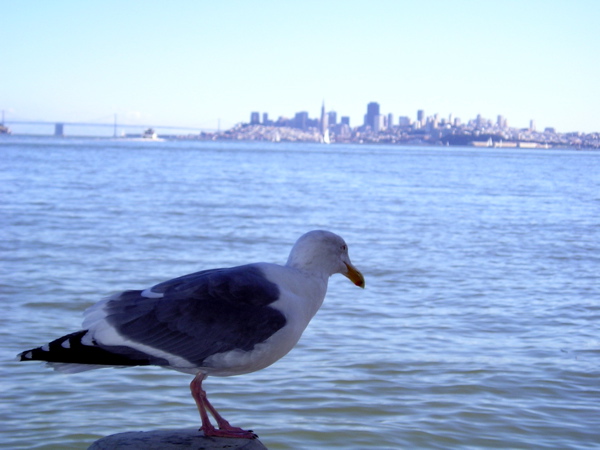
SF from Sausalito
No comments:
Post a Comment